Jordan River & Canal Crossings
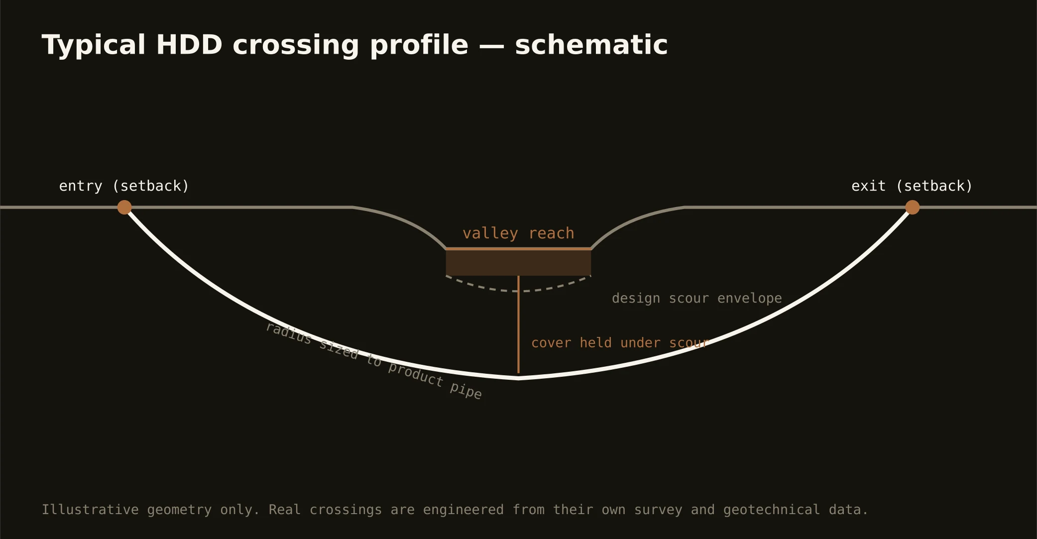
The Jordan is the valley's spine — the only river that runs the metro end to end, carrying Utah Lake's outflow north through every city on the floor to the Great Salt Lake's wetlands — and crossing it is the signature Front bore: profiles set below a channel the flood-control era straightened and the restoration era is re-loving, entry and exit worked around the parkway trail system that lines the banks, state stream-alteration machinery on the crossing, and the Surplus Canal's engineered bypass adding its flood-district seriousness where the system splits at the city's edge. The canal lattice scales the doctrine across the valley: pioneer-era companies still own working rights-of-way, their boards review crossings of their ditches with proprietor's care, and the smart quote names the company before the profile.
The canyon creeks carry the mountain register: City, Emigration, Mill, Big and Little Cottonwood creeks drop from the Wasatch through the oldest infrastructure in the state, running hard in runoff season and precious always — watershed-protection rules govern the canyon reaches that feed the taps, and snowmelt's calendar shapes every in-channel window. And at the valley's north edge, the lake's wetlands take over: hemispherically significant shorebird habitat, state sovereign lands, and the mitigation-and-conservation machinery of a shore the whole region is working to keep wet — crossings near that world carry its full stack, named plainly.
Technically the crossings read the old lake: bench-side approaches drill cobbles, floor-side sags run soft fines with buoyancy engineered, liquefaction-mapped reaches get their design attention, and fluid discipline holds watershed grade throughout — containment both banks, monitored returns, and the response plan written before the pilot turns.