Directional Drilling in Salt Lake City
The valley is an ancient lakebed and the neighborhoods climb its old shorelines — the benches of Lake Bonneville, stepped against the Wasatch — while the Jordan River threads the floor toward a Great Salt Lake the whole region is working to save. Wasatch Front HDD is bench-and-lakebed drilling in earthquake country — and it's ours.
HDD is the whole job here
The Wasatch Front drills the ghost of a lake: Bonneville filled these valleys a thousand feet deep in the ice ages, and its evidence is the estimating map. The benches — the old shorelines every local names in daily speech — are the lake's deltas and beach terraces: coarse, bouldery, permeable gravels stepped against the mountain front, drilling as cobble country that eats light tooling and drinks drilling fluid. The valley floor is the lakebed itself: fine silts and clays, soft and deep, with the water table rising toward the wetlands as the ground runs northwest to the Great Salt Lake — soft-ground engineering with buoyancy math and dewatering plans. Bench-or-lakebed is the Front's first quoting question, and the transition zone between them earns its own respect.
The second local fact runs under the first: the Wasatch fault traces the bench line itself, and this is a metro that takes seismic design seriously as civic culture — liquefaction mapping on the lakebed fines, fault-zone awareness in the codes, and infrastructure standards written by people who plan for the ground to move. For utility work that means flexible fused products are the region's natural fit, crossings near mapped fault traces carry design attention, and the engineering conversation here is refreshingly literate. The economy stacks growth on growth: the tech corridor's campuses, an inland port district rising near the lake, the great copper mine working the Oquirrh side at world scale, downtown's construction decade, Tooele Valley's boom as the next valley fills, and an Olympic horizon that has the whole region building ahead.
The waters are snowmelt's children: the Jordan River runs the valley floor south-to-north through the whole metro, the canyon creeks drop from the Wasatch through the city's oldest infrastructure, a pioneer-era canal system still laces the valley, and the Great Salt Lake's shore — hemispherically important to shorebirds and centrally important to the region's future — is treated with the seriousness its moment demands. Behind everything sits the network desk: 50,000+ boring calls answered, ~10,000 crossings quoted, 2,000+ drilled, pricing the Wasatch Front with the old lake's map already in the math.
Fiber-Optic Boring
Tech-corridor and campus duct, municipal-fiber expansion, and valley FTTH.
Electrical Duct Boring
Feeders for campuses, the port district, and a grid building toward the Games.
Water & Force-Main Boring
Pressure pipe for snowmelt systems in a valley that engineers its water.
Jordan River & Canal Crossings
The signature Front bore: the valley's river, its canal lattice, and the lake's wetlands.
Road & Highway Crossings
City grids, UDOT's corridors, and the canyon mouths — level-named and season-aware.
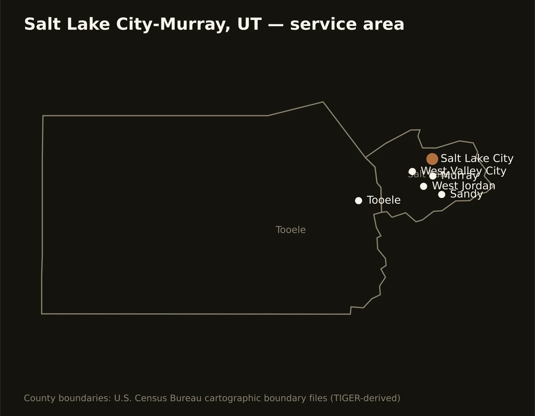
Two counties between the ranges — Salt Lake carrying the capital, the bench cities, and the valley floor from the canyons to the lake, and Tooele running the next valley west with its own boom and the desert beyond. Full county list on the service-area page.