How Directional Drilling Works in Salt Lake Ground
Reading the old lake: benches and floor
Lake Bonneville left the Front its estimating map: the benches — the shoreline terraces and deltas the ice-age lake built against the Wasatch, now the metro's most storied neighborhoods — are coarse cobble-and-gravel country, permeable, bouldery, and honest only to tooling rated for it; the valley floor is the lakebed — fine silts and clays, soft, deep, and increasingly wet as the ground runs toward the Great Salt Lake's wetlands. Between them, transition ground mixes the trades. Level-named quoting states which part of the old lake your alignment crosses, because a floor number on a bench — or the reverse — is how Front schedules break.
Seismic culture and the engineered waters
Two systems of local seriousness govern the work. The fault: the Wasatch's trace runs the bench line, liquefaction maps cover the lakebed fines, and this metro's codes, engineers, and owners treat seismic design as standing culture — which suits HDD's fused, flexible products naturally and adds design attention where the maps speak. The waters: canyon watersheds protected at drinking-source grade, a pioneer canal lattice with living companies and rights, the Jordan's restoration-era corridor, and the lake's wetland shore at the center of the region's defining conservation effort. All of it is scope — named, respected, and priced in daylight.
The sequence, Wasatch edition
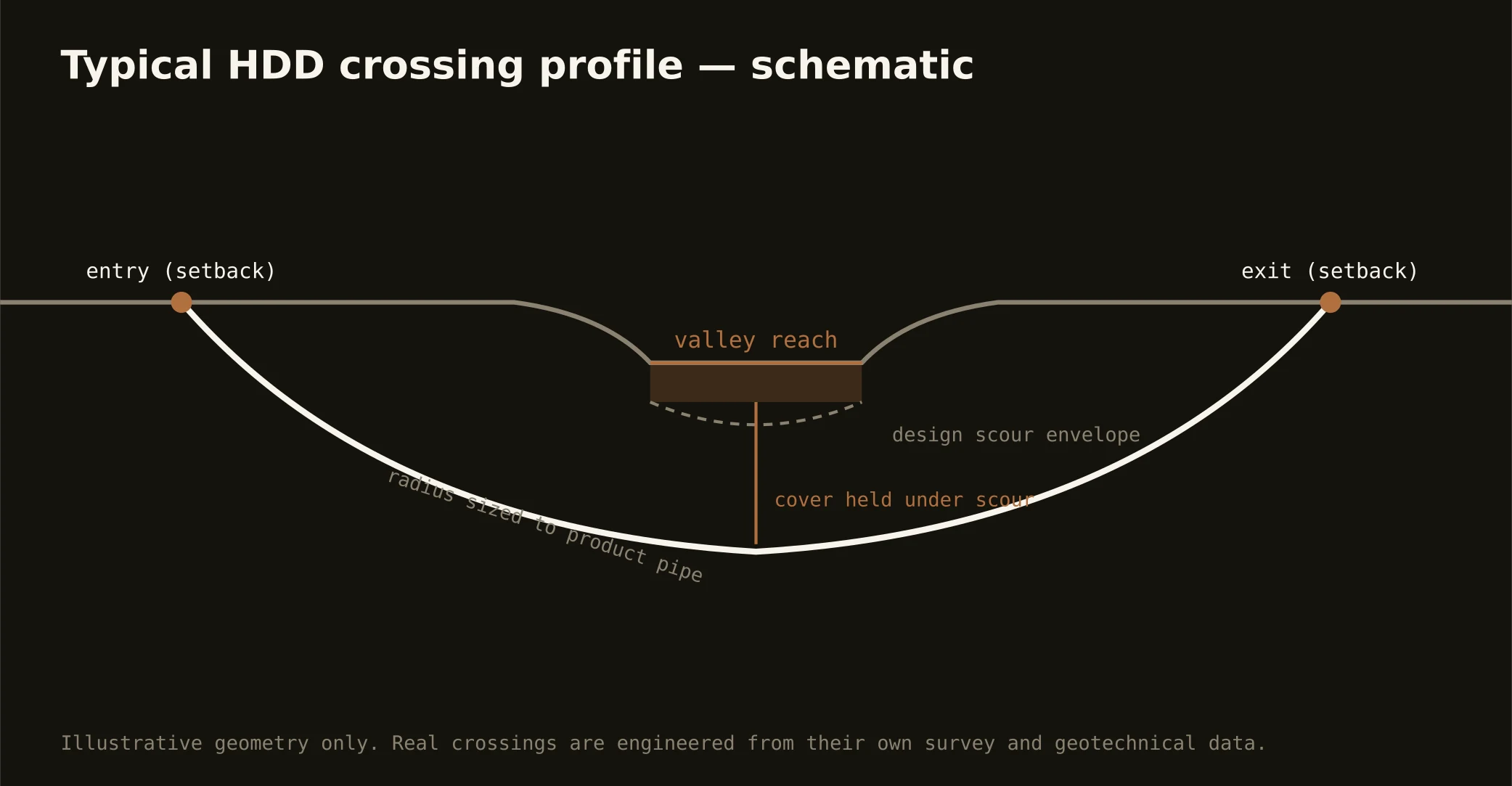
The bones are standard — locates plus private designating, potholes on every claimed utility, pilot on profile, ream to about one and a half times the product, pull, restore. Wasatch bends: cobble-rated tooling on the benches, dewatered soft-ground programs on the floor, liquefaction-map review where the fines apply, canal-company naming before profiles, runoff-season windows on the creeks, winter-inversion and canyon-wind staging awareness, and restoration that treats bench gardens, valley lawns, and trail-corridor banks as the different surfaces they are.
Who owns what you're crossing
The cities run their own ROW counters; two county departments cover the unincorporated miles; UDOT permits the interstates and the state spines. The state's stream-alteration machinery holds the Jordan and the creeks; the canal companies govern their lattice with proprietor's authority; watershed-protection rules guard the canyon sources; the lake's wetland world carries sovereign-lands and habitat machinery; the transit authority coordinates its corridors; railroads permit the crossroads' main lines; and the flood-control district runs the Surplus Canal's world. The quote names every owner on your alignment — here, the first questions are which level of the old lake and whose water.
Straight answers
Will you hit rock on my bore?
Rarely bedrock — the old lake buried it deep under most of the metro — but the benches serve cobbles and boulders that argue like rock against light tooling, and the canyon mouths bring true rock within reach where the mountains begin. The quote names your level and rates the tooling for it.
How deep do bores run under Salt Lake streets?
Cover follows the owning authority's standard and sits below everything potholed on the alignment — with river, creek, and canal crossings running to their authorities' criteria, and liquefaction-mapped reaches carrying their design attention. The plan states your number and your level of the old lake at it.
Does the Great Salt Lake's situation affect utility work?
It sets a stewardship tone the whole valley has adopted: water is counted publicly, the lake's wetland shore carries real protective machinery, and dust-and-conservation consciousness runs through the region's construction culture. For our work it means watershed-grade fluid practice everywhere and the wetland stack named wherever the north-valley maps apply — the Front's standards, met as standard.
Ready to put a number on a real crossing? Send the scope — a person prices it.